
Graphics Library
Data Visualization in EQuIS
EQuIS Professional and Enterprise are extended via exports and interfaces to other software, including Esri, Autodesk, Bentley, gINT, EVS, Surfer, Rockworks, and others.
The EQuIS Professional PlusG and PremierG graphics libraries connect to other software for extended data analysis, decision support, visualization, modeling, statistics, and other specialized functions.
EnviroInsite provides comprehensive data visualization capabilities for subsurface data and modeling. EnviroInsite can be added to any Professional library and is further described on the Decision Support web page.

PlusG
Extend EQuIS with third party graphic and visualization tools including: gINT from Bentley, Google Earth, Surfer, LogPlot, RockWorks, Environmental Visualization System (EVS), Groundwater Modelling System (GMS), Groundwater Vistas, GeoDIN, and more.

EVS 3D Contour
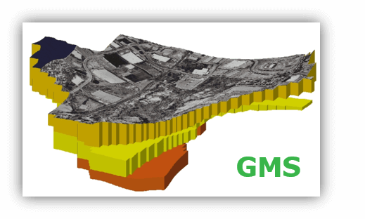
GMS – Subsurface simulation

Google Earth – 3D Elevated Contour

Google Earth Contours

LogPlot Boring Log

Rockworks – Water Levels, Plume Monitoring, Fence Diagrams
PremierG
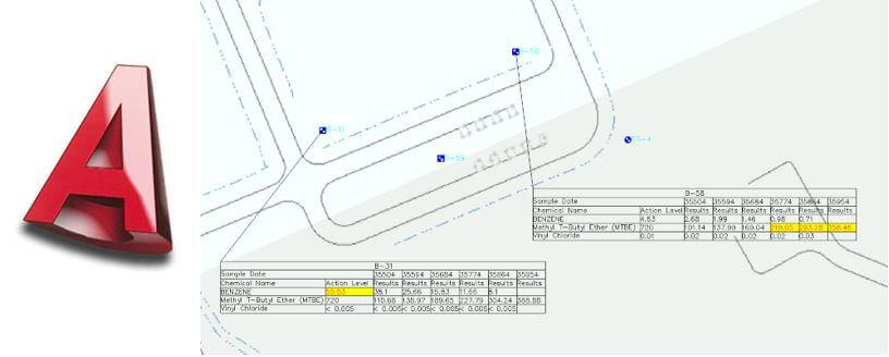
EQuIS Professional PremierG library combines the graphical and visualization, exports and interfaces of PlusG, with two additional applications: EQuIS for ArcGIS and EQuIS for AutoCAD.
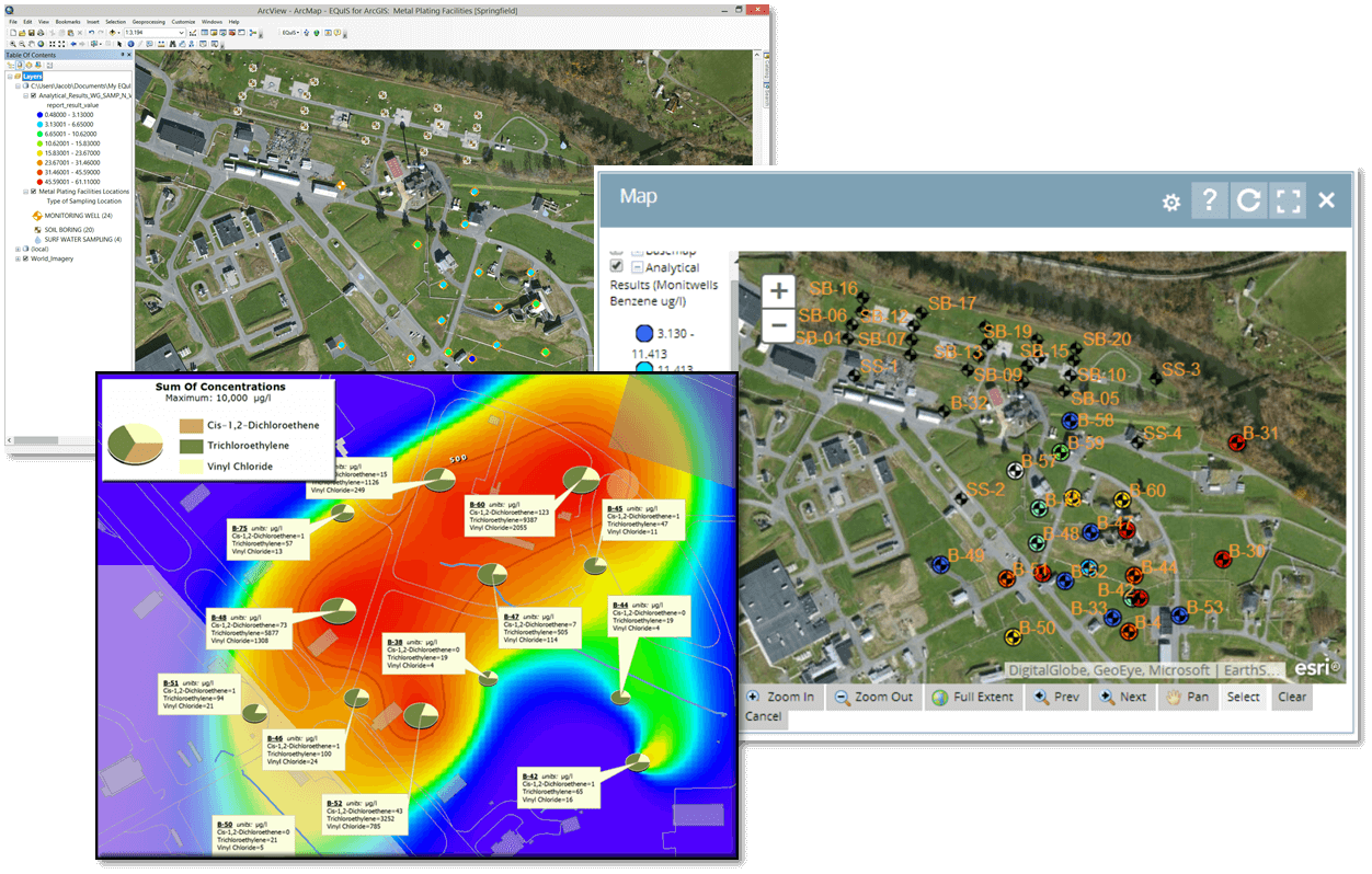
EQuIS for ArcGIS
EarthSoft has been an Esri Business Partner since 1999. EarthSoft’s EQuIS for ArcGIS is an extension for the ArcView, ArcEditor, and ArcInfo desktop applications. EQuIS for ArcGIS can query, report, and map the data that EQuIS manages—making it ideal for displaying and communicating project information.
EQuIS for ArcGIS supports the ArcMap Style gallery by providing a customizable EarthSoft style gallery, which is used when creating any of its automated map features, such as sample locations, color ramps, scale bars, etc.
Our Community Center has an extensive EQuIS for ArcGIS Resources section, with videos, presentations, and more information about ArcGIS.

Combination Libraries
EQuIS Professional combined libraries of PlusDG and PremierDG provide the flexibility and convenience of both data and graphic visualizations in one license.
PlusDG: All available EDD formats, data Interfaces and exports, and interfaces to most third-party visualization applications.
PremierDG: All available EDD formats, data interfaces and exports, SPM, DQM, and all available interfaces to third party visualization applications (including ArcGIS and AutoCAD).
Solutions
Want to Learn More?
Explore EQuIS Environmental Data Management Workflows
Contact Us
125 S. Alcaniz St., Suite 2
Pensacola, FL 32502
800.649.8855
info@earthsoft.com
Subscribe to Our Mailing List
Stay informed about our upcoming events, news,
and more.